For Prospective Students
For Current Students
Research
About UD
Practical Info and Contacts
 Faculty: Faculty of Science and Technology
Short description:
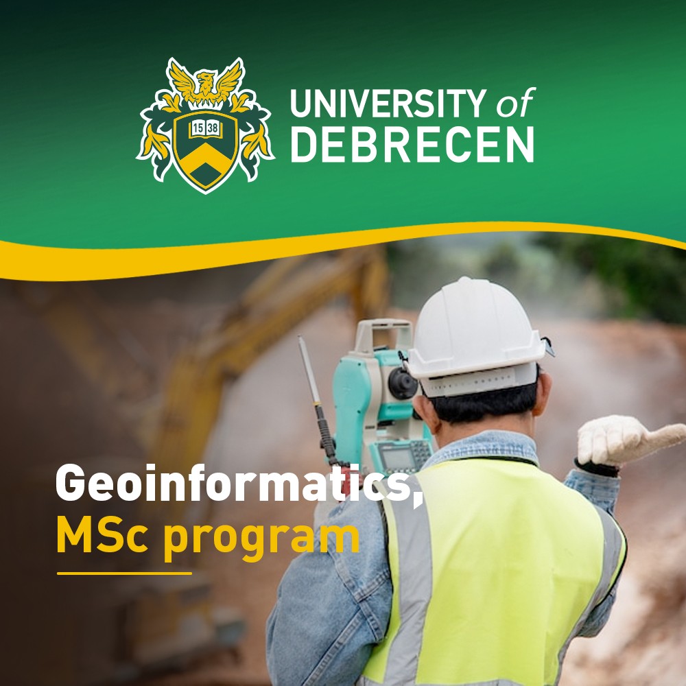
Geoinformatics MSc course develops knowledge and understanding in the following fields: database management, surveying, LiDAR systems, photogrammetry, drones, web mapping and applications in different fields of life from environment protection to regional development.
Lecture, seminar: 40%
Practice: 60%
Main subjects typically include (this list is indicative and may change):
| Year | Main subjects |
| 1 | New research methods in geosciences, Geostatistics, Management basics, Data protection, Project management |
| 2 | Geoscientific data mining, Spatial data analysis, Photogrammetry, Point cloud analysis, CAD, Open source software, Programming, Multispectral remote sensing, Hyperspectral remote sensing, Web mapping, Raster analysis, Geovisualization |
Internship, practice: Students should complete a 6-week field practice.
More info about the program:
Career prospects: Graduates can choose from a wide range of possibilities on the labour market such as consultancy firms, surveying and GIS related companies, governmental organizations, research institutes, non-governmental organizations.
Check out some information about the Application and Admission process!
More info about Accommodation and Cost of living are also available on our website.
But if you still have any question, feel free to contact us!
You can also meet our Student Ambassadors, check their testimonials or even contact them in case of non-academic questions, eg. about student life.